
-
Government
-
Transparency
Elections
-
-
Services
-
Taxes
Roads & Utilities
Waste Services
Permitting & Platting
Emergency Services
Businesses
-
-
Projects & Development
-
Studies and Research
Projects
Development
Initiatives
eCommerce
Plans
Public Works
-
- Property & Maps
-
Lifestyle
-
Facilities
Borough Libraries
Trails
Initiatives
-
-
About
-
Join Us
-
1986 Core Area Topography Maps
Topo Map Index
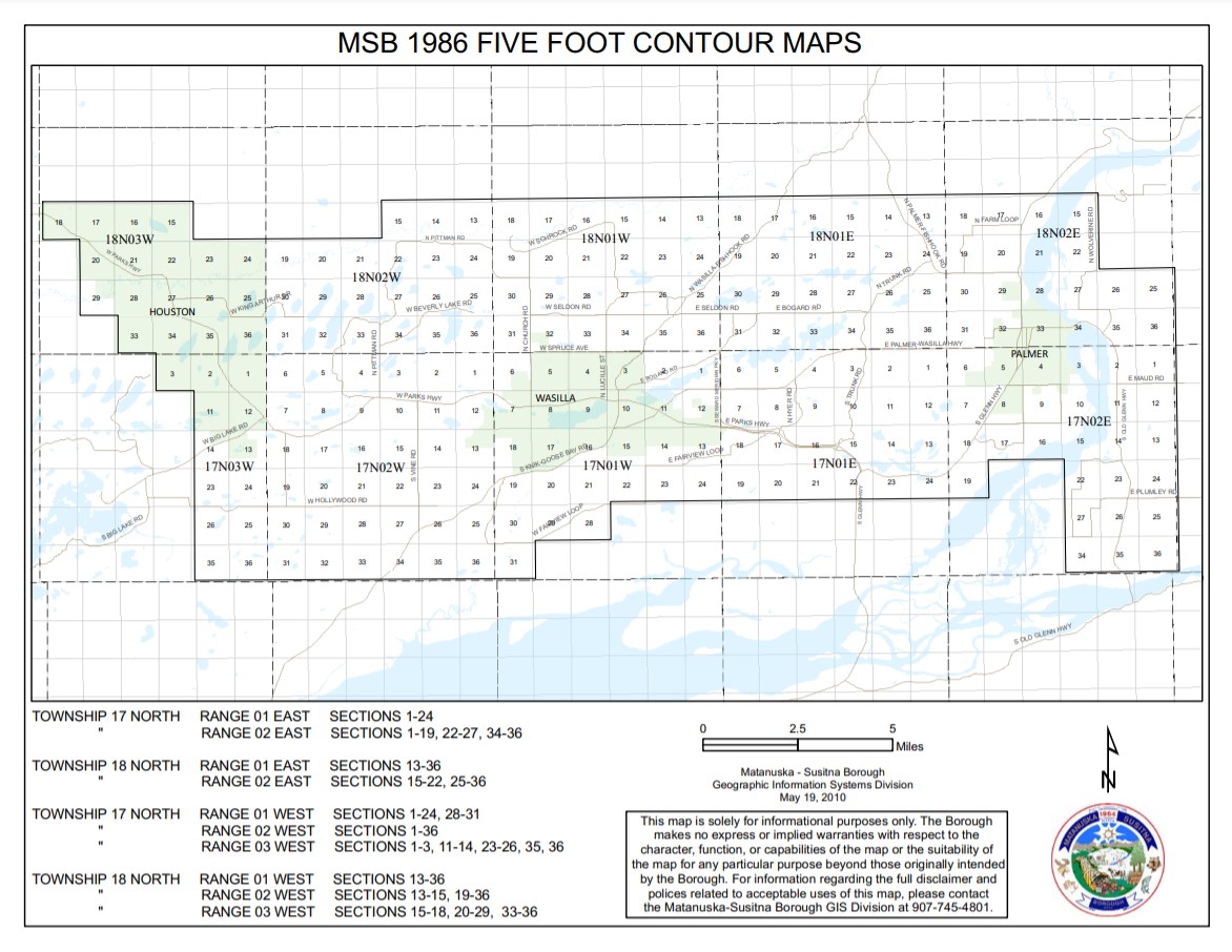
The following maps are created and maintained by the MAT-SU Borough GIS staff (or by contractual arrangement) and made available to the general public in Adobe Acrobat (PDF) format. These maps are made available to the public provided that the user adhere to the terms and conditions as defined within the Borough's GIS Disclaimer and Acceptable Use Policy. Review this policy before using the maps.
The contour interval is 5 feet. Elevations are NGVD 1929.
Township 17 North
| SEWARD MERIDIAN |
|---|
Township 17 North R1E
Township 17 North R2E
Township 17 North R1W
Township 17 North R2W
Township 18 North
| SEWARD MERIDIAN |
|---|
Township 18 North R1E
Township 18 North R2E
Township 18 North R1W
Township 18 North R2W
Road Service Area (RSA) Maps
Overview
This page has roads service area maps for use by residents, the assembly and road contractors.
In Alaskan boroughs; roads can be maintained by the Borough, the State, local cities, or be unmaintained. Local areas can form Road Service Areas (RSAs) which allows to the Borough to levy taxes to hire road contractors to build maintain, and service roads in that RSA.
More information about individual boards can be found on each board's page.